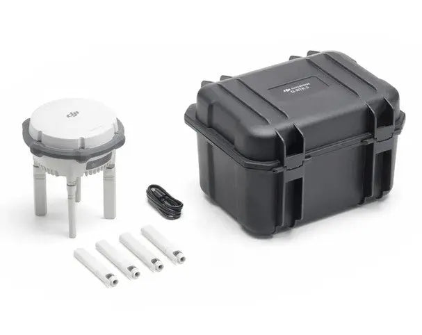
DJI D-RTK 3 Multifunction Stations at Altitude Drones
Improve the accuracy of your drone operations with DJI D-RTK 3 Multifunction Station, available at Altitude Drones. Designed for professional surveying, mapping, construction, public safety, inspection, and precision agriculture, the DJI D-RTK 3 delivers centimeter-level positioning accuracy for compatible DJI enterprise drones and payloads.

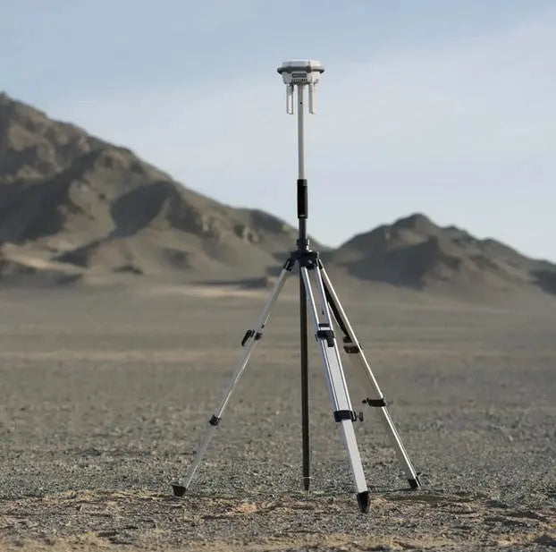
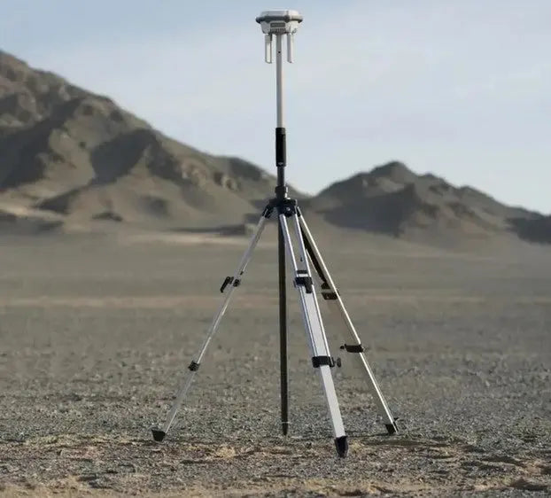
The DJI D-RTK 3 Multifunction Station supports multiple operating modes, including RTK base station, rover station, and relay station, providing exceptional flexibility for a wide range of field applications. By utilizing multi-band GNSS signals, it enhances positioning precision, reduces setup time, and improves workflow efficiency for mapping, photogrammetry, LiDAR, and inspection missions.
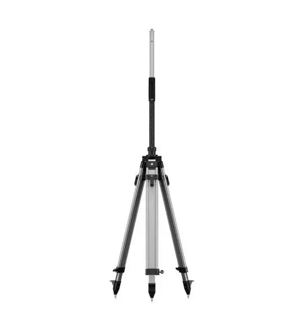
Compatible with DJI enterprise platforms including the Matrice 4 Series, Matrice 400, and other supported DJI RTK-enabled drones, the D-RTK 3 provides reliable real-time correction data even in challenging environments. Its rugged, portable design makes it easy to deploy on construction sites, infrastructure inspections, utility corridors, and public safety operations.
Whether you're performing high-accuracy aerial surveys, creating precise orthomosaics, or collecting LiDAR data, the DJI D-RTK 3 helps ensure every mission is completed with maximum accuracy and confidence.
Shop DJI D-RTK 3 Multifunction Stations at Altitude Drones and equip your enterprise drone fleet with industry-leading RTK positioning technology backed by expert support and fast shipping.
Filters
2 products