Emlid Reach GNSS Receivers for Drone Mapping and Surveying
Emlid GNSS receivers provide professional-grade positioning solutions for drone mapping, surveying, and geospatial data collection. Designed for accuracy, flexibility, and ease of use, Emlid systems are widely adopted in both enterprise UAV operations and traditional land surveying workflows where reliable centimeter-level precision is required.
Built around advanced RTK and PPK capabilities, Emlid receivers enable operators to achieve survey-grade accuracy without heavy or complex ground infrastructure. This makes them especially valuable for drone teams working in dynamic environments such as construction sites, agriculture, infrastructure inspection, and GIS mapping projects.

Flexible RTK and PPK Workflows
Emlid GNSS receivers support both real-time kinematic (RTK) corrections and post-processed kinematic (PPK) workflows, giving drone operators maximum flexibility in the field. RTK allows for immediate high-accuracy positioning during flight, while PPK ensures precision even in areas with limited connectivity or signal interruptions.
Cross-Platform Compatibility
One of Emlid’s key advantages is its platform independence. These receivers integrate seamlessly with a wide range of drone systems, flight controllers, and mapping software, making them a strong choice for mixed-fleet operations and organizations that require adaptable surveying tools.
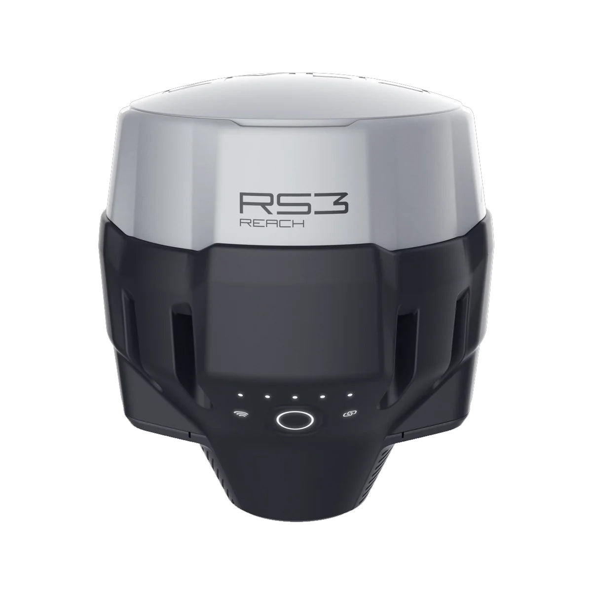
Lightweight, Portable, and Field-Ready
Emlid GNSS solutions are designed for mobility and efficiency. Compact hardware, long battery life, and intuitive mobile app support make them easy to deploy in the field, reducing setup time and increasing operational productivity for drone survey teams.
Built for Professional Survey Accuracy
Whether used as a base station or rover, Emlid receivers deliver consistent, high-precision positioning that meets the demands of modern drone surveying and enterprise geospatial workflows.
Filters
1 product