DJI Subscription Packages for Mapping, Fleet Management & 3D Model Editing
Explore DJI subscription packages designed to help professional drone teams plan missions, manage operations, process aerial data, and refine digital models with greater efficiency. Whether you need powerful mapping software, cloud-based fleet management, or advanced 3D model editing tools, DJI Terra, DJI FlightHub 2, and DJI Modify provide scalable solutions for enterprise drone workflows.

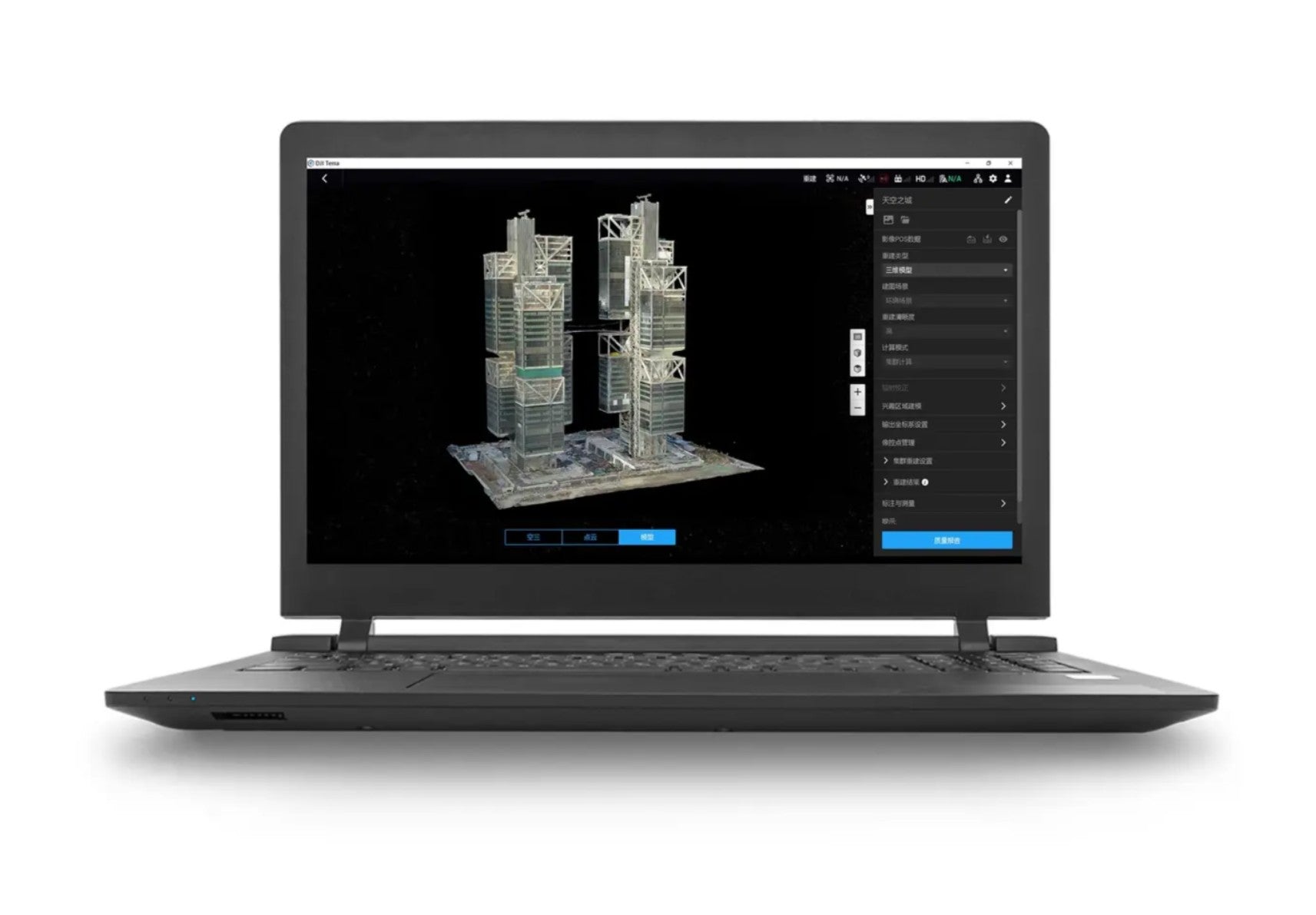
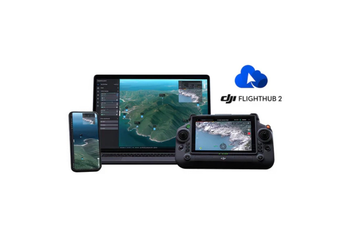
DJI Terra is built for drone mapping, 2D reconstruction, 3D modeling, and aerial data processing, helping professionals turn captured imagery into accurate digital assets. DJI FlightHub 2 supports cloud-based drone operations management with tools for team coordination, real-time mission oversight, route planning, and centralized fleet workflows. DJI Modify works alongside DJI Terra as an intelligent 3D model and point cloud editing solution, helping users clean, repair, and optimize reconstruction results.
These DJI software subscriptions are ideal for surveyors, construction teams, public safety agencies, inspection professionals, agriculture operators, and enterprise drone programs that need reliable tools for mapping, modeling, data management, and mission planning. Shop DJI Terra, DJI FlightHub 2, and DJI Modify subscription packages to expand your drone program with professional software built for modern aerial operations.
Filters
2 products