
DJI Matrice 400 Drone Mapping READY-TO-FLY Bundle
New & Un-Activated Unit
This Item Ships FREE
Description
DJI Matrice 400 Mapping Drone Ready-to-Fly Bundle from Altitude Drones | Everything You Need for Less
Altitude Drones has been a leading drone retailer since 2011. We've assembled this ready-to-fly bundle to make it easy for you to get up and running with all the essentials for a complete mapping drone setup. Want more freedom to configure your bundle the way you want it? Check out our build-your-bundles here!
The Matrice 400 READY-TO-FLY bundle comes in 3 configurations (basic, advanced, and plus):
The BASIC bundle includes:
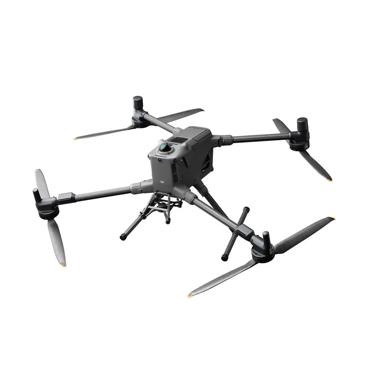
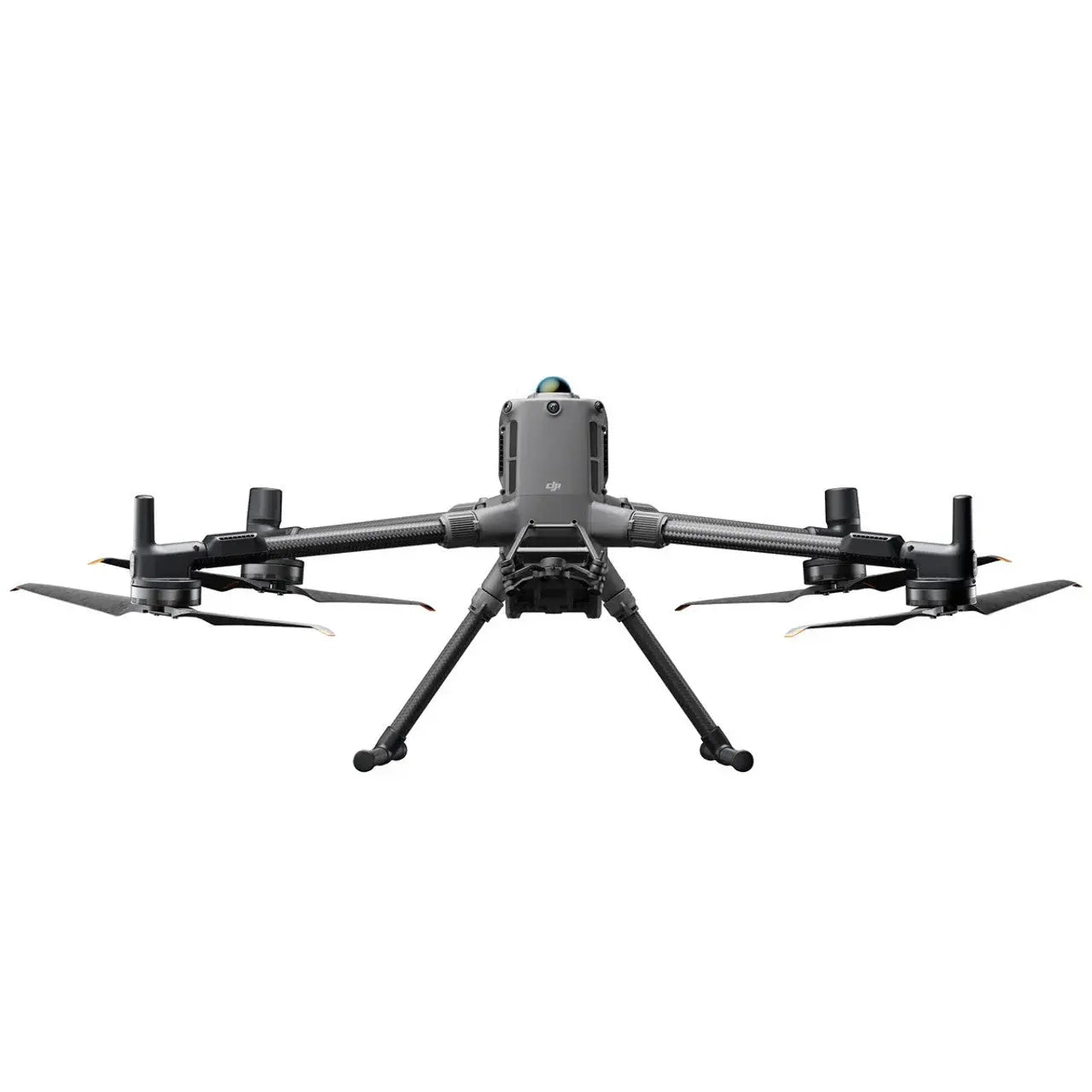
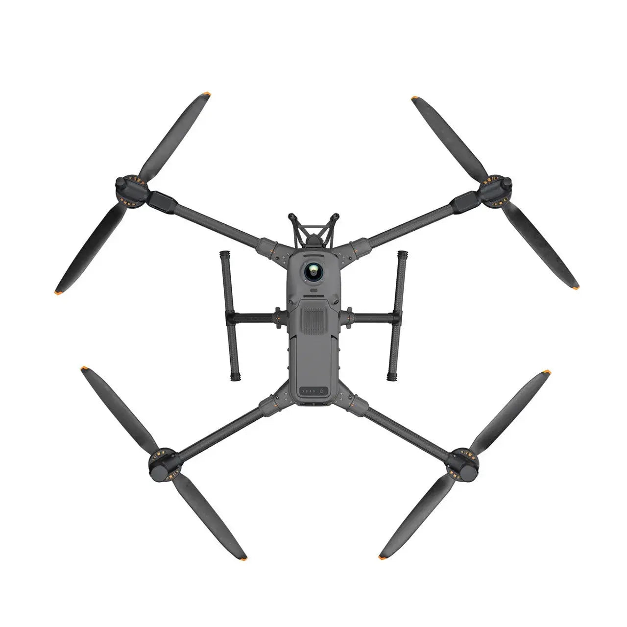
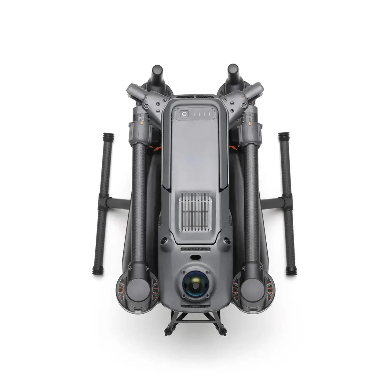
- DJI Matrice 400 w/ drone, remote, case
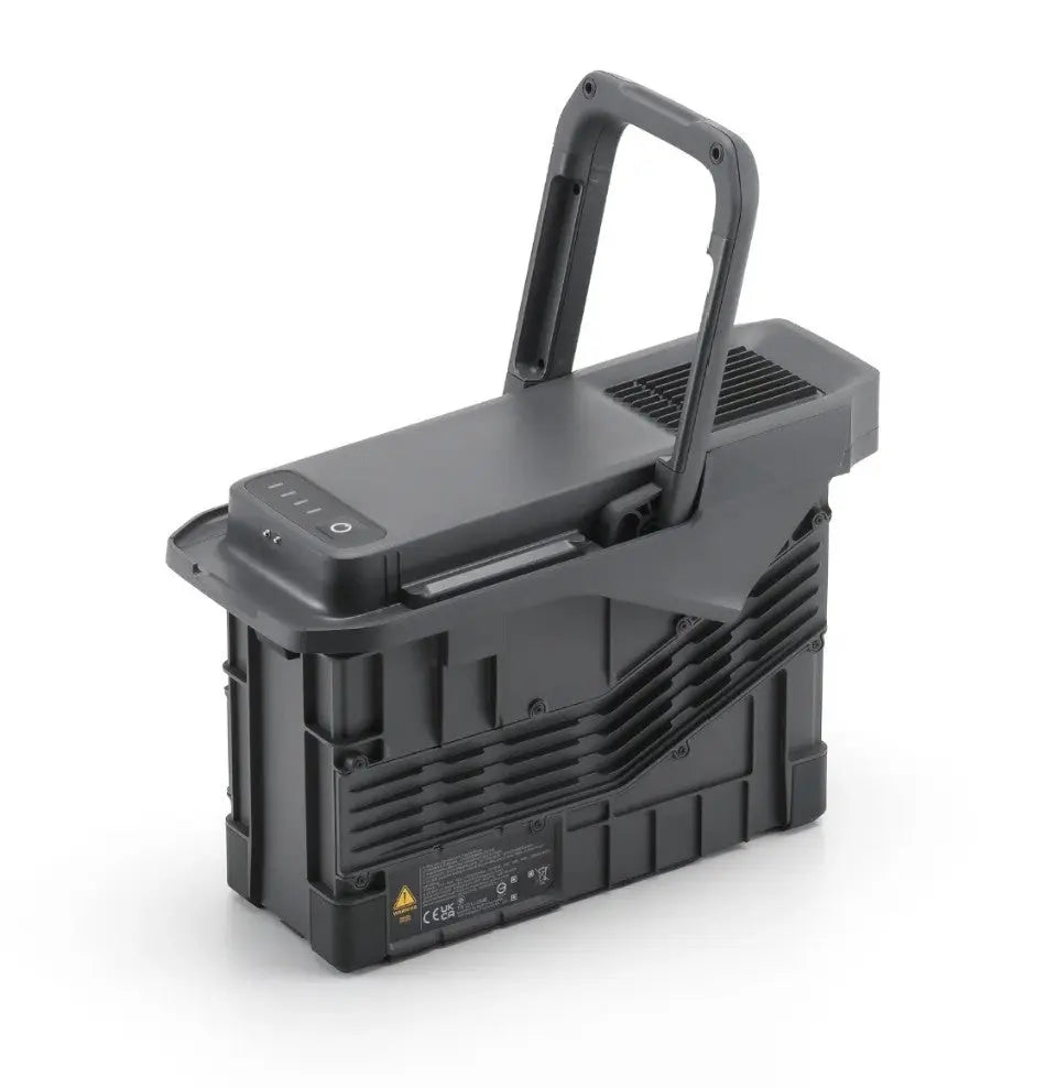
- (1) BS100 charging case
- (2) TB100 flight batteries
- DJI Zenmuse L3 LiDAR sensor
The ADVANCED bundle comes with everything from the basic bundle AND:
- DJI Manifold 3
- DJI Manifold 3 adapter for Matrice 400
The PLUS bundle comes with everything from the advanced bundle AND:
- DJI D-RTK 3 Multi-function Station
- DJI D-RTK 3 tripod and survey kit
Below is an explanation of each accessory option:
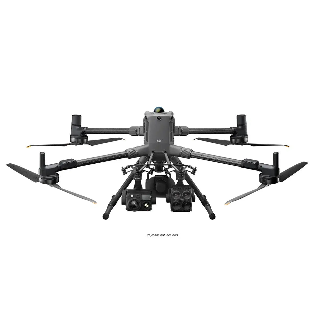
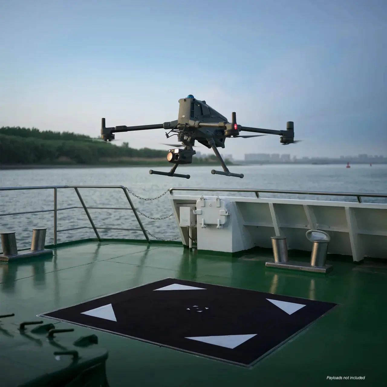
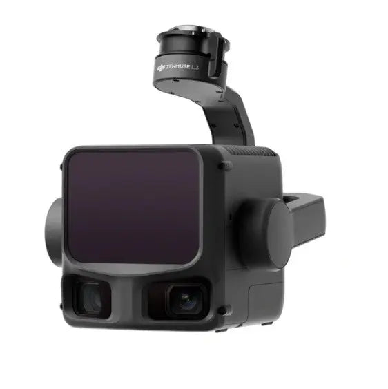
DJI L3 LiDAR sensor payload: The Matrice 400 requires a payload as it does not have one built-in. The DJI Zenmuse L3 is a high-performance LiDAR payload designed to capture highly accurate 3D data in environments where traditional photogrammetry may struggle. Combining LiDAR scanning, an RGB mapping camera, and an advanced IMU, the L3 can penetrate vegetation, capture terrain details beneath tree canopies, and generate precise point clouds with exceptional efficiency. For mapping professionals, the Zenmuse L3 enables faster data collection, improved accuracy, and reliable results across surveying, construction, forestry, mining, and infrastructure inspection projects, making it a powerful tool for creating detailed digital twins and topographic models.
DJI Manifold 3: the DJI Manifold 3 is an high performance onboard computing module that expands the capabilities of the DJI Matrice 400 by providing real-time data processing and intelligent automation directly on the drone. Equipped with up to 100 TOPS of AI computing power, 16GB of RAM, and 256GB of onboard storage, it allows advanced processing tasks to be performed directly on the aircraft instead of relying on a remote computer or cloud connection. For mapping applications, it enables advanced features such as smart 3D modeling and automated flight route generation, helping pilots capture more complete datasets with less manual planning. By reducing field time, improving data quality, and streamlining surveying and inspection workflows, the Manifold 3 is an excellent upgrade for mapping professionals looking to maximize the efficiency and value of their operations.
DJI D-RTK3 Multi-Function Station and Tripod/Survey Pole: The DJI D-RTK 3 Multifunctional Station is a high-precision GNSS base station that provides centimeter-level positioning accuracy for mapping drones such as the DJI Matrice 400. When paired with the Survey Pole and Tripod Kit, it creates a stable, elevated reference point that broadcasts RTK corrections to the drone throughout the mission, significantly improving the accuracy of orthomosaics, point clouds, and 3D models. The D-RTK 3 can also be used as a rover for collecting ground control points and survey data, making it an ideal solution for surveyors, engineers, and mapping professionals who require highly accurate geospatial data while reducing the need for extensive ground control.
Specifications
In The Box
DJI Matrice 400 Mapping Drone Ready-to-Fly Bundle from Altitude Drones | Everything You Need for Less
Altitude Drones has been a leading drone retailer since 2011. We've assembled this ready-to-fly bundle to make it easy for you to get up and running with all the essentials for a complete mapping drone setup. Want more freedom to configure your bundle the way you want it? Check out our build-your-bundles here!
The Matrice 400 READY-TO-FLY bundle comes in 3 configurations (basic, advanced, and plus):
The BASIC bundle includes:
- DJI Matrice 400 w/ drone, remote, case
- (1) BS100 charging case
- (2) TB100 flight batteries
- DJI Zenmuse L3 LiDAR sensor
The ADVANCED bundle comes with everything from the basic bundle AND:
- DJI Manifold 3
- DJI Manifold 3 adapter for Matrice 400
The PLUS bundle comes with everything from the advanced bundle AND:
- DJI D-RTK 3 Multi-function Station
- DJI D-RTK 3 tripod and survey kit
Below is an explanation of each accessory option:
DJI L3 LiDAR sensor payload: The Matrice 400 requires a payload as it does not have one built-in. The DJI Zenmuse L3 is a high-performance LiDAR payload designed to capture highly accurate 3D data in environments where traditional photogrammetry may struggle. Combining LiDAR scanning, an RGB mapping camera, and an advanced IMU, the L3 can penetrate vegetation, capture terrain details beneath tree canopies, and generate precise point clouds with exceptional efficiency. For mapping professionals, the Zenmuse L3 enables faster data collection, improved accuracy, and reliable results across surveying, construction, forestry, mining, and infrastructure inspection projects, making it a powerful tool for creating detailed digital twins and topographic models.
DJI Manifold 3: the DJI Manifold 3 is an high performance onboard computing module that expands the capabilities of the DJI Matrice 400 by providing real-time data processing and intelligent automation directly on the drone. Equipped with up to 100 TOPS of AI computing power, 16GB of RAM, and 256GB of onboard storage, it allows advanced processing tasks to be performed directly on the aircraft instead of relying on a remote computer or cloud connection. For mapping applications, it enables advanced features such as smart 3D modeling and automated flight route generation, helping pilots capture more complete datasets with less manual planning. By reducing field time, improving data quality, and streamlining surveying and inspection workflows, the Manifold 3 is an excellent upgrade for mapping professionals looking to maximize the efficiency and value of their operations.
DJI D-RTK3 Multi-Function Station and Tripod/Survey Pole: The DJI D-RTK 3 Multifunctional Station is a high-precision GNSS base station that provides centimeter-level positioning accuracy for mapping drones such as the DJI Matrice 400. When paired with the Survey Pole and Tripod Kit, it creates a stable, elevated reference point that broadcasts RTK corrections to the drone throughout the mission, significantly improving the accuracy of orthomosaics, point clouds, and 3D models. The D-RTK 3 can also be used as a rover for collecting ground control points and survey data, making it an ideal solution for surveyors, engineers, and mapping professionals who require highly accurate geospatial data while reducing the need for extensive ground control.
Contact Us
Questions? Need a quote?
FAQ
Check out the most common questions our customers ask. Still have questions? Contact our customer support.
Are all DJI drones the same?
No, they are not. Be careful of other sellers advertising DJI drones at bargain prices or selling only through social media or online marketplaces. Often times, these are "black market" drones intended for use in another country like Nigeria or South Africa. They are cheap because they were pre-activated overseas before being shipped. We sell un-activated models and can assist our customers with repairs.
Are you an authorized DJI and Autel dealer?
Yes, we are an authorized dealer for all the brands we sell to include DJI, Autel, JZ, CZI, and many more.
Do you offer financing on drones?
Do you accept government/corporate purchases?
Yes! We sell to government and corporate/enterprise clients all the time and can accept purchase orders. Contact us today for a quote or to learn more.
Do you offer DJI drone repairs?
We do! We have partnered with Drone-Works to offer repairs on select DJI drones. Visit here for more info: DJI Repairs
How long will it take to get my order?
It depends on where you are located and the shipping method. We try to ship all orders within 1 business day. Transit time to most locations in the U.S. from us in Colorado is typically just 2-5 business days.
Do you offer local pickup?
Yes! We allow our local customers to pick up products from our Johnstown, Colorado, location. Select pickup during checkout and contact us to schedule a time.